Saturday, kind of on the spur of the moment – and a beautiful day to go.
One of the things I wanted to do was test my MapMyHike phone app. I have the free version (naturally) and it’s really great. The GPS is amazing – it is accurate to just a couple of feet. I know because I’ve tested it on in and out hikes/walks where I’ve gone in the two directions on opposite sides of a six foot trail and it differentiates.
Anyway, from the Beacon Mountain parking lot to the top of North Beacon – a considerable gain in height – like close to 800′ – took me just a few seconds short of 45 minutes and was exactly 1.00 miles. The app measures distances to the hundredth of a mile. The round trip up to the South Beacon fire tower and back to the parking lot is just shy of 4 miles.
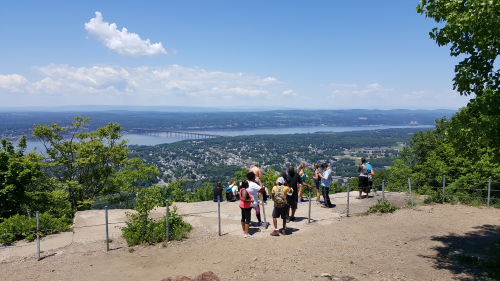
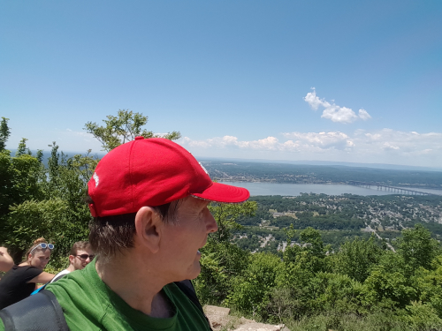
A couple of pictures all taken with my galaxy phone – beautifully clear day – I bet you can see 60 miles looking west over the Hudson.
From North Beacon
Heading from North Beacon to South Beacon and the fire tower, here’s the cairn field that is slowly taking shape as people add to it –

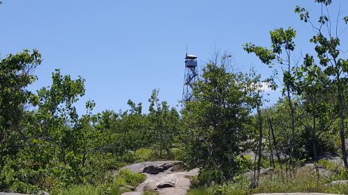
The South Beacon fire tower comes into view. South Beacon Mountain at 1,610′ is the highest point in the Hudson Highlands. This time I did not go up it.
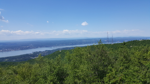
Here’s the view from the top of South Beacon looking west. Don’t know who those people are; wanted to give the picture some scale.

And the view from there, looking northwest –
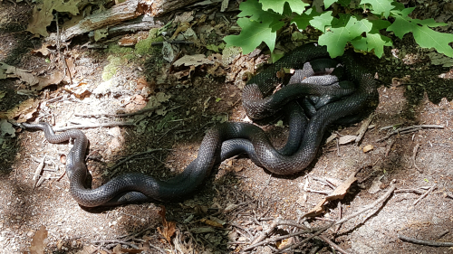
On the way back down, on the trail between the two mountains were two black rat snakes, gaining the attention of hikers as they seem to be trying to start a family. I watched for a minute or two and no kidding, every few seconds you could hear a kind of purring sound.
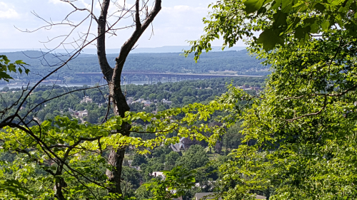
Almost all the way back down and here’s another shot of the Newburgh-Beacon Bridge.
Will be back up at least one more time this season; probably to go all the way to Sugarloaf Mountain to the south.
Leave a Reply to tom faranda Cancel reply