See the map, which shows that you are walking (all uphill!) seven tenths of a mile to Breakneck Ridge. The Nimham route only opened last year – someone constructed a million five hundred stone steps! You come out about halfway up, arriving above the flag that is on Breakneck. It’s still a vigorous walk – you rise about 600 feet (according to my software) over the 7/10’s of a mile. But nowhere near as tough as the first 600 feet directly up Breakneck. Joe went with me.
View at the 3/4 point. That’s Bannerman Island of course.
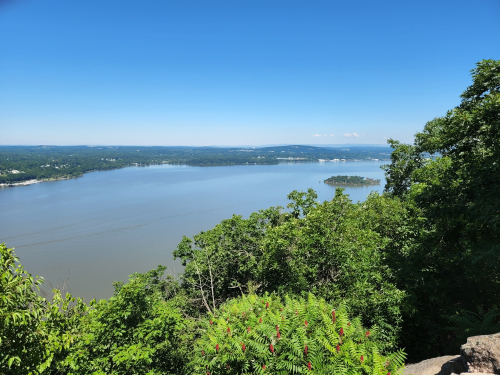
When we got to the intersection here are the views – right at the south edge
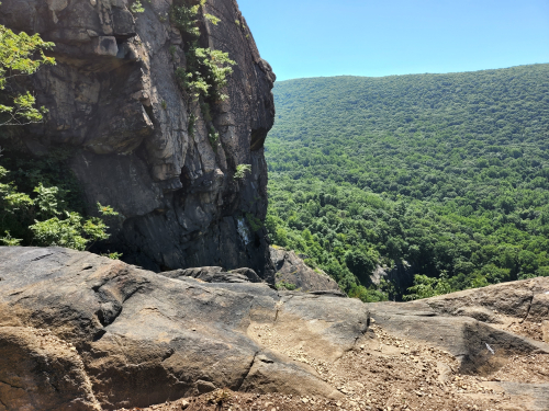
Then looking east up the trail – can you see the people right in the middle of the picture? Pretty cool!
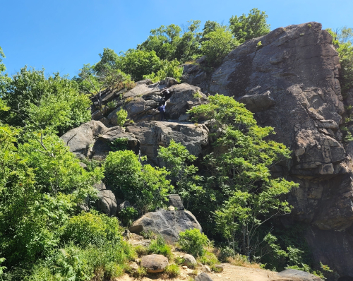
Looking west, below us – where several people are standing in the little clear area – that’s where the trails intersect and we came in.
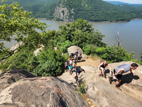
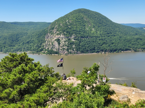
We went back to the intersection of the trails and here’s a good shot of the flagpole and across the river Storm King. The peak of Storm King is over 1330 feet so twice as high up as where I took this picture. Storm King is actually higher than Breakneck at it’s highest Ridge, by about 90 feet.
I’m thinking I might like to do the whole Breakneck Ridge Loop, but by way of the Nimham Trail, cutting out the initial crazy rock climb to the flag. I wouldn’t want to handle that anymore. Total round trip would be about 3.7 miles and take maybe three and a half hours.
Leave a Reply to the Lingua Franca of Liquid – SWEAT Cancel reply