Breakneck Ridge is in the East Hudson Highlands, just north of Cold Spring, and directly across from Storm King mountain on the other (west) side of the Hudson. All the guidebooks on hiking in the Hudson Highlands say the climb up Breakneck is the toughest, and they aren’t kidding.
I decided after we got back from our vacation last week to try and fit the hike in, over the next two weeks, and I had a little window of opportunity yesterday morning. So Brigid (who fancies walking up Mt. Washington in New Hampshire sometime in the near future – all 6,388 feet), Joe, and our friend Jeanne Marie Gagnon took off from Croton and at 10:22am were on our way up Breakneck.
We traveled up Rte. 9D, and as you approach the roadway tunnel a bit north of Cold Spring, there is Breakneck, a hugely imposing granite cliff, rising above you. Immediately past the tunnel is a small parking area, and from there you walk back a few yards and go over the top of the tunnel, and the climb begins.
Breakneck Ridge tops out about 1250 feet above the Hudson. What you see from the road is only the first 700-800 feet of vertical rise.
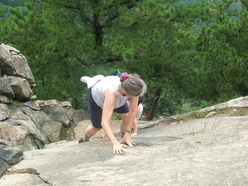
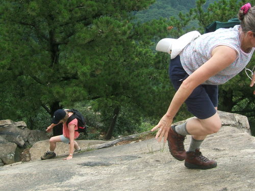
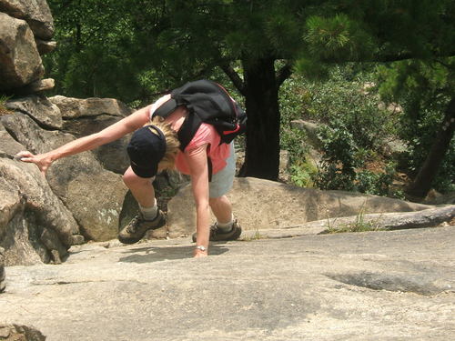
The climb is tough, with plenty of scrambling on all fours. Here are a few pix to give you an idea –
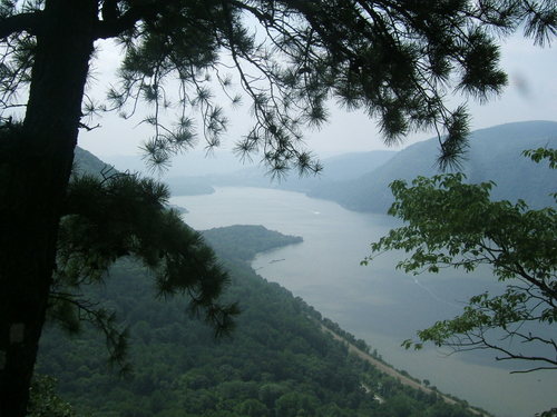
Joe took this one, about 40% of the way up –
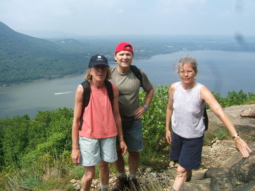
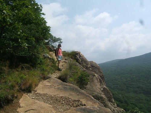
Here’s a scramble-mode series featuring Jeanne Marie and Brigid!
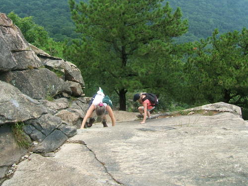
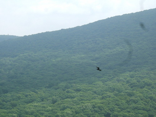
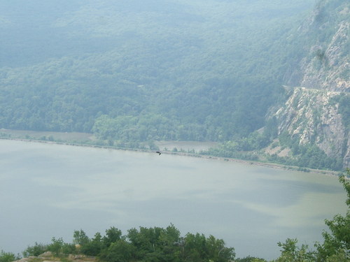
We think these are turkey vultures (waiting for one of us to fall?). The hill in the background of the first picture is an extension of Bull Hill, Tom Faranda’s Folly: Last Sunday’s (May 13th) hike up Bull Hill south of Breakneck. Joe took these pictures.
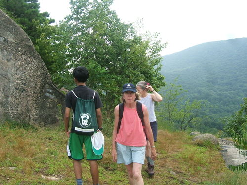
And here’s Brigid with her game face on –
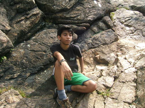
And Joe, a bit more sanguine
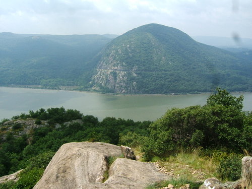
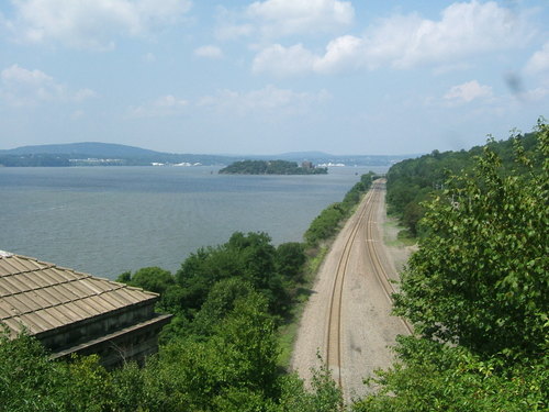
The view looking west, at Storm King. It’s worth mentioning that 500 feet underneath the Hudson River between Breakneck and Storm King, runs one of the great aqueducts for supplying water to New York City. The water comes down from the Catskills, with the tunnel crossing from the west side of the Hudson to the east side, at this point.
At ll:50 we arrived here, and made the decision not to go up the last rise you can see in the background. We simply ran out of time. We figured it would take us about 30 minutes to get to the final top and another 20 minutes to get back, and we just couldn’t fit it in. So we were about 150 vertical feet short of the final crest, which you reach by crossing a short valley. Have to go back and do it another time!
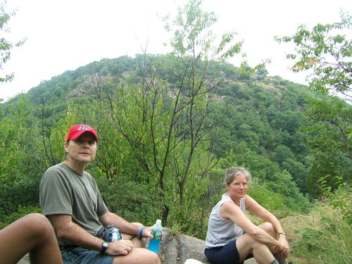
After a 20 minute rest we turned around at 12:10 and headed down.
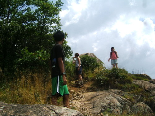
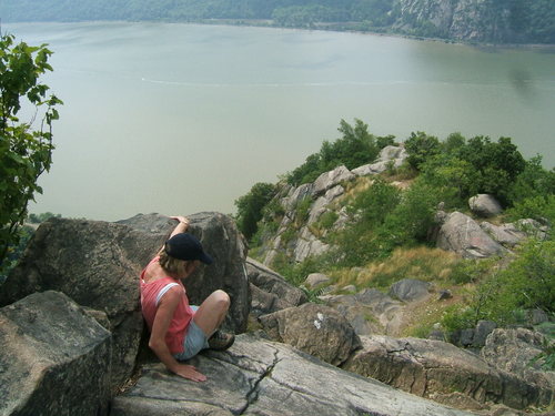
I was about 150 yards away from Brigid, Joe, and Jeanne Marie when I took this. We decided it might make a good picture for them to descend a bit and then look back…
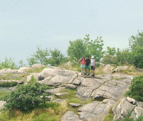
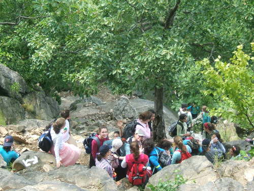
As we came down we met this group of hikers from a Jewish all-girls camp. Most of them were pretty cheery (but a few weren’t!). There were close to forty girls with only two or three counselors, and their goal was the first lookout point about 500-600 feet up. But that was another 20 minutes climb and I don’t think they got much higher then here.
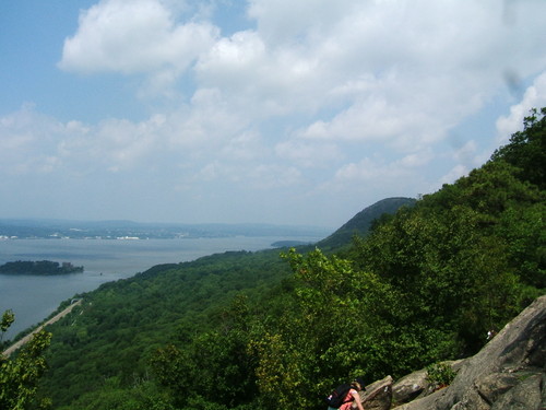
And here’s a view looking north, as we were coming down. On the left you can see Bannerman’s Island, while the hump in the background is Sugarloaf Mountain, which Joe and I climbed a few months ago. Tom Faranda’s Folly: Tom and Joe’s Sunday climb up Sugarloaf In the mist if you use your imagination you can see it – crossing the river further back is the Newburgh-Beacon Bridge.
Looking north from on top of the tunnel almost all the way back down. The building on the left gives access for workers to the Catskill Aqueduct that I mentioned earlier.
We reached our car at 1:22, exactly three hours after we headed up. After a quick lunch in Cold Spring, we got back to Croton – later then we’d hoped. I ended up staying in my office well into the evening, while Brigid, Joe and Jeanne Marie went back north to Boscobel to watch a version of Shakespeare’s “As You Like it”, but with a cowboy theme(?). YAHOO!
Leave a Reply