This past Sunday Joe and I drove just north of Cold Spring for a climb up Sugarloaf Mountain. “Mountain” might be stretching it a bit, since it’s only 900 feet above sea level. But what the heck, that’s what they call it.
Sugarloaf (not to be mis-identified with Sugar Loaf hill, south of Cold Spring) is across and slightly north of Storm King Mountain on the west side of the Hudson. You park just past the tunnel north of Cold Spring, by the railroad tracks paralleling the river, and cross over to the Wilkinson Trail. The trail is yellow blazed and easy to follow.
It’s a fairly brisk walk/climb, with some real scrambling the last 80 vertical feet or so. It took us 52 minutes to get to the top, arriving at 5 o’clock. We spent almost an hour at the top, taking pictures, hanging out, and calling Brigid, as well as my college roommate Mike Riner, who lives with his family in Cold Spring.
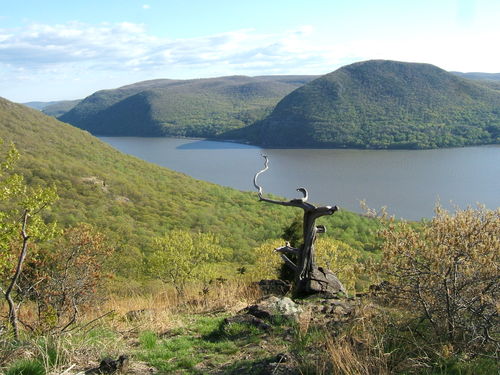
Here’s some pix, the first one looking southwest across the Hudson. The odd-looking tree in the middle is referred to as “driftwood” and is the unofficial marker for the top of Sugarloaf.

Looking down directly west, is Bannerman’s Island, named for an eccentric guy who made his fortune at the beginning of the 20th century selling explosives. He built a European-style castle on the island, and then put his person collection of explosives there. Eventually there was an accident and they blew up, destroying the buildings and rendering the island uninhabitable.

Then if you go about 50 yards north of the summit, you get excellent views up the Hudson to the north. The bridge is the Beacon-Newburgh Bridge.

Here’s a little zoom shot north 
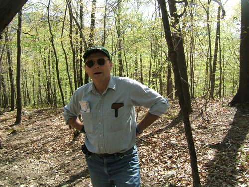
Here’s Tom at the beginning of the walk – why do I look so fat in this picture?

Joe at the top – master of all he surveys. On the ground behind him is my green “industrial strength” fanny pack, that I love using on trips like these.

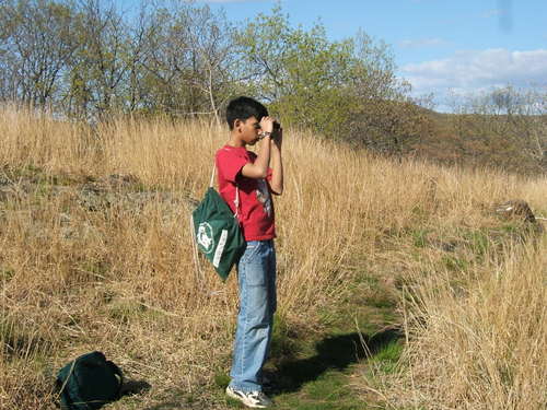
Here’s Joe doing a little scrambling on the north side of the summit (not the way we got to the top), as he was trying to get some pictures of hawks flying by.

Here’s one of them – about five flew north below us, and then came back down south about seven minutes later –

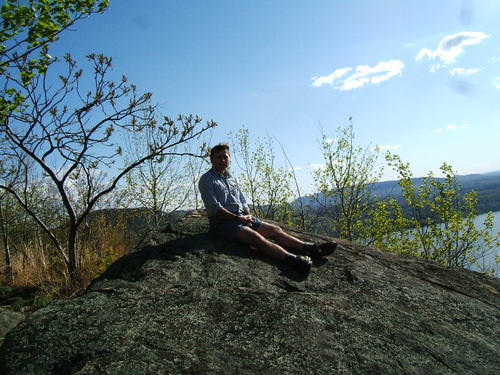
And here I am trying to do my imitation of the Buddha on a mountain. Again succeeding in looking fat…

We left the top around five to six,and were at the bottom around 6:35. On the way home we stopped for dinner at The Reef restaurant – at the Annsville Circle – if you’re local you know where I mean. I haven’t eaten there in years, and the food was surprisingly good. Not great, but good and not too pricey.
I had a great time and Joe seems to have enjoyed himself. Of course he’s about to graduate from the eighth grade, so he mostly speaks only in grunts to me, but I think he had a good time.
The walk was instead of a drive and walk up near the Ct – MA – NY border where I know some good spots. Joe vetoed the ninety minute drive. There are actually quite a number of good short (four to eight mile) walks up hills with names like Breakneck Ridge and Anthony’s Nose, just north of us, past the Bear Mountain Bridge and near SugarLoaf. I am develping a plan in my mind to try and do at least one walk every two weeks or so, over the next month or two.
Leave a Reply