UPDATE: Monday evening – knee is much better – used the elliptical in the gym and lifted weights Monday afternoon. Go figure?
I had a knee issue – my right knee. The knee suddenly started to act up around mile five. A year ago Dr. Michael Gott (family orthopedist! Has performed surgery on myself, Tim and Brigid) had a look at my right knee due to some pain and clicking. I did not have arthritis in the knee, probably a torn meniscus. But there was no MRI so no final diagnosis and the knee has given me very little trouble. In fact in the last few months I’ve started doing Romanian Deadlifts with a 65 to 75 lb barbell and it seemed to help both knees. On my almost nine mile warm up hike to see if I could pull off doing the CT. Appalachian Trail Hike – Second shakedown for tentative CT hikes – Beacon to Breakneck I had no trouble at all with either knee. And that hike had a lot of up and down – you would figure that if my knees were going to give me trouble, that would uncover it
Not sure what happened – the knee started to bark on the flat surface along the Housatonic River and by the time I started the last big climbs and then finished it, I was in a world of hurt. You can see the up and down in this graph. I realized coming down from the last peak on the right that I could limp the next three plus miles to the camp shelter – but then I had another 11 plus miles to go for Sunday. Just made no sense – If I was asked “On a scale of ten what would you say your pain level was?” I’d have said between a 7 and 8. The pain was in the lower, outer aspect of my right knee – if my knee had a watch face it was hurting from 7 to 8 o’clock. I called home and Tim picked me up – I’d gone over my route with everyone the day before so it was easy for Tim to meet me on Old Skiff Road, which the Trail crossed. I still had to limp off the top of the hill (Caleb’s Peak – see the view below) to the road, which took about thirty minutes, and Tim arrived about an hour after that. So home Saturday night. Knee was still bothering me Sunday evening when I went out and walked a bit in the neighborhood.
Here’s a picture near the first peak on the graph above.
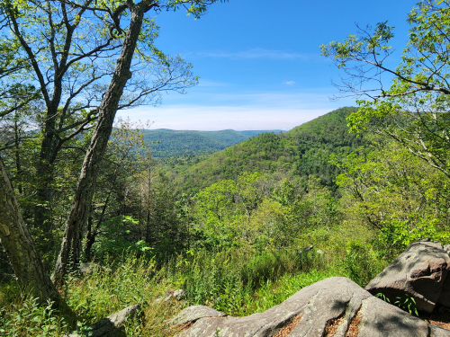
Along the pretty Housatonic River which on the graph above is the squiggly line between the peaks. About five miles and it was somewhere in there I noticed my knee was irritable.
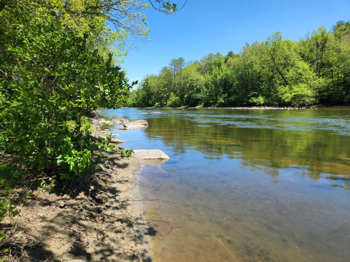
And as the trail meandered off the river but still paralleling it –
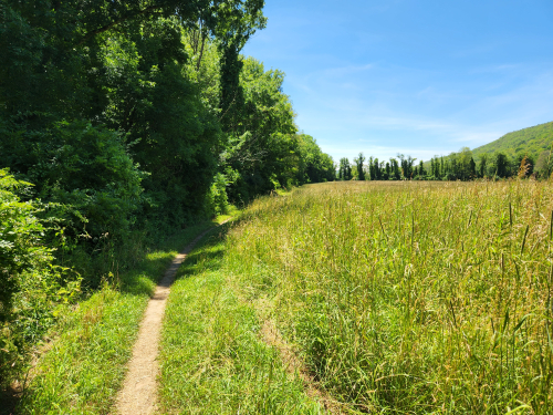
And back to the Housatonic.
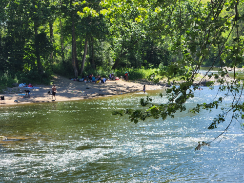
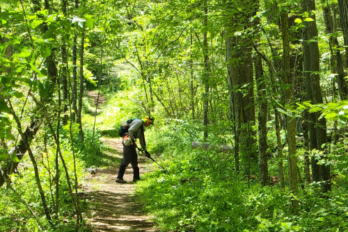
And here is a volunteer who was trimming the bushes back just off the river. And not a young man – probably older than myself.
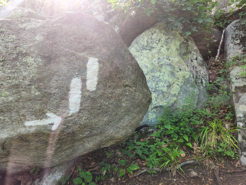
The trail came to a car park and road – someone had put out water for hikers – which went on for maybe a mile – then right turn and heading up, up, up…
A 600 foot of elevation climb – getting me up to about 900 feet – not helpful for my knee.
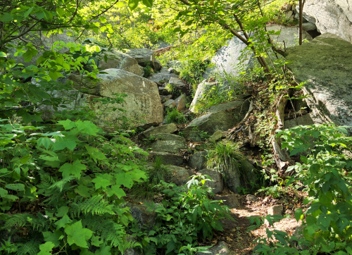
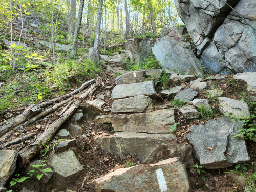
The terrain was crazily rugged – this is NOT part of the trail – just off it and very typical.
At the top of the next to last peak – St John’s Ledges – named for a guy whose last name was St John
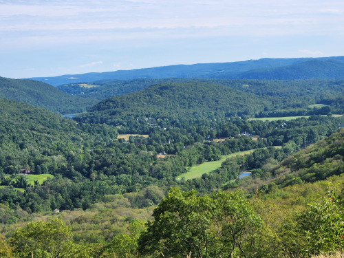
And here’s the view at about 900 feet, into the Housatonic River valley. Pretty cool! See the river?

Then the trail drops about 150 feet, before going up about 300 to the highest point on this section of the AT, Calebs Peak. The map says it’s at 1060 feet.
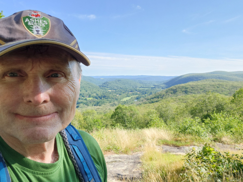
YIKES! Hat is from Australia (thank you June) and refers to a cricket series played every two years between, Australia and England.
Coming down off Calebs Peak – and going downhill is the worst on your knees – I decided that discretion was the best course – no way I’d have enjoyed continuing – and called home. I walked down the trail about another 3/4’s of a mile to Skiff Road and Tim picked me up about 75 minutes later.
If you’ve read this far and are still interested – here was the original plan. On the Appalachian Trail in CT this weekend!
Leave a Reply to the Ambassador of Aqueducts – SWEAT Cancel reply